LIDAR- Revealing the Maya
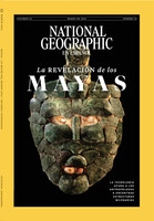
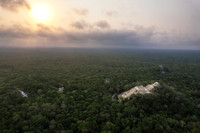
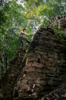
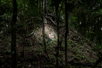
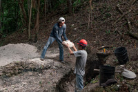
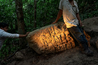
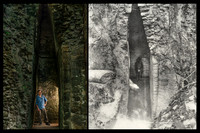
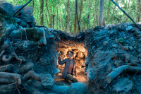
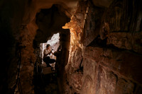
A selection from National Geographic's cover story ‘Revealing the Maya’ based in The Maya Forest of Guatemala and Mexico. With the aid of LIDAR (Light Detection And Ranging) archaeologists can now generate 3-D maps of the terrain concealed by dense vegetation, which enables them to ascertain whether there are any hidden pyramids or buildings lying beneath the surface. This innovative approach has revolutionized the world of archaeology as it offers unprecedented insights onto the history, life and socia structures of pre-Hispanic civilizations. We are learning that the size of the Mayan empire was much more densely populated than about the 5 million population that was thought before. We are finding out that as many as 10-15 million people may have lived in the area known as the Maya Lowland.